
Carlisle ZIP Code Coverage
Carlisle's postal geography has two documented codes that require different treatment. ZIP code 17013 is the verified core code for Carlisle Borough and county-seat institutional addresses in the research. ZIP code 17015 is a Carlisle-named surrounding postal area, but its precise Borough inclusion was not verified. A postal code is a routing tool. It should narrow a Carlisle address question, not replace the municipality field or a county parcel check.
| ZIP code | Documented coverage | Postal verification | Research caution |
|---|---|---|---|
| 17013 | Verified Carlisle Borough and county-seat institutional addresses, including Borough Hall, courthouse offices, County Archives, and CCHS | Use USPS for the specific Carlisle delivery point | Core Carlisle Borough ZIP, but postal routing can extend beyond municipal lines |
| 17015 | Carlisle-named surrounding postal area | Check USPS, then Cumberland Property Mapper and the municipality field | Do not classify it as Borough Carlisle without address-level confirmation |
Neither row is a resident list. It is a Carlisle geographic starting point. The parcel's PIN, its municipality, and the physical situs address remain more useful than a mailing-city label when a record needs to be tied to a particular Carlisle location.
Carlisle ZIP Code 17013
ZIP code 17013 is the core Carlisle Borough code supported by verified institutional addresses. Carlisle Borough Hall, the Carlisle courthouse offices, County Archives, CCHS, and Carlisle Police all use it in the local research. That makes 17013 a sound initial postal expectation for a target inside the incorporated Carlisle Borough. It still does not settle every Carlisle address question. A delivery point must be tested through USPS, while the county mapping record supplies the municipality and parcel context that a postal label cannot provide.
The USPS ZIP Code Lookup is the source for this Carlisle ZIP code directory image.
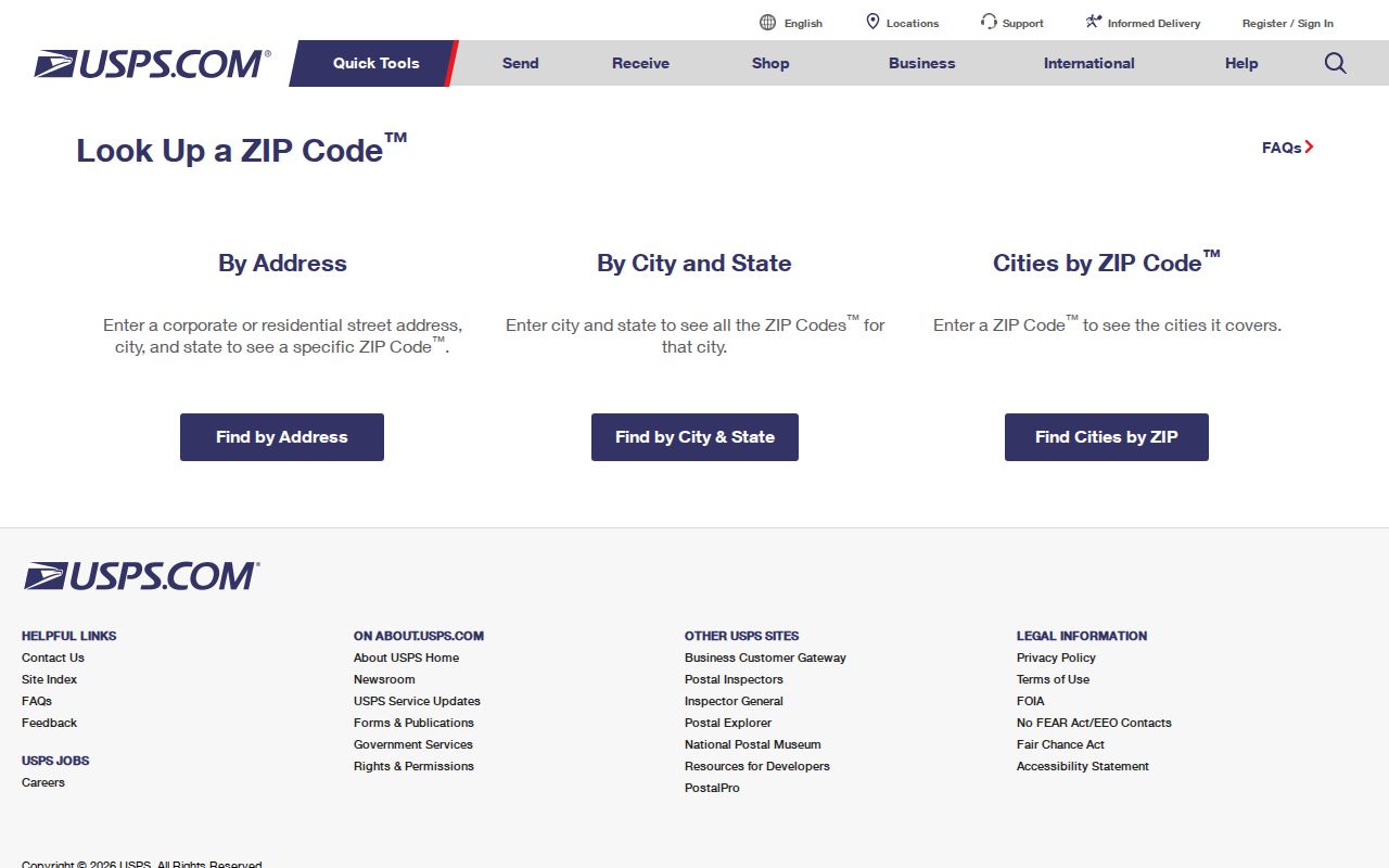
Use the USPS result as a Carlisle delivery check, then keep the returned postal information separate from the Cumberland County parcel's civic jurisdiction.
Carlisle ZIP Code 17015
ZIP code 17015 needs an address-by-address check. The research confirms that it uses the USPS city name Carlisle in the surrounding postal area, but it does not confirm precise Carlisle Borough boundaries, a complete service-area description, or exact neighborhood coverage. Calling every 17015 address a Carlisle Borough address would erase the difference between a postal community and an incorporated municipality. Preserve the full address, run the postal check, and inspect the Cumberland County parcel municipality before deciding which Carlisle-area custodian or government body applies.
Cumberland Property Mapper is the useful second step because it is designed for Carlisle address or PIN searching and displays parcel geometry with basic assessment context. Its municipality field is more meaningful for jurisdiction than a postal city name. Cumberland DataScout is also an address or parcel-number property-card route, but the county does not document a ZIP filter for either Carlisle county tool.
Note: No authoritative ZIP-to-municipality boundary table was located, so precise 17015 boundary claims should wait for official confirmation.
Search a Carlisle ZIP Code by Address
A ZIP code can help verify one known Carlisle location, but the documented Carlisle tools do not create a ZIP-wide people directory. The practical sequence starts with a Carlisle street address, uses USPS to confirm postal routing, then uses Cumberland County GIS or assessment tools to identify the parcel and municipality. A final Carlisle record search should be matched to the actual question, such as a parcel, a public document, or a specific court case. Do not turn an address or parcel result into a list of people living there.
- Enter the complete Carlisle delivery address in USPS ZIP Code Lookup and save the postal result for that address.
- Search the same Carlisle address or PIN in Cumberland Property Mapper, then record the parcel identifier, municipality, situs address, and source date.
- Use Cumberland DataScout by address or parcel number when a Carlisle property card is needed for ownership, physical characteristics, or assessed-value context.
- If the question concerns one public Cumberland court case, use a narrow UJS search with Cumberland and the appropriate case criteria, not ZIP alone.
- Move to the Carlisle street directory only when a verified Carlisle address needs a detailed parcel and recorded-document trail.
This Carlisle process verifies geography first. It does not claim that a ZIP code reveals every resident, household, owner, voter, or mailing destination within a postal area.
Carlisle ZIP Code Portal Limits
The official ZIP-capable tool in the local chain is USPS. Cumberland Property Mapper and DataScout are documented as address or PIN tools, not ZIP filters. UJS Case Search has property-related advanced criteria including ZIP, but its result set is court cases that satisfy case criteria. It is not a parcel directory or a tool for finding people in a postal zone. Pennsylvania's voter-status service is a personal self-status tool and has no published ZIP browse.
| Tool and field | Type | Required | Permitted interpretation |
|---|---|---|---|
| USPS address-to-ZIP lookup | Address submission | A complete target address | Postal routing result for that submitted delivery point |
| Property Mapper, Property Search or PIN | Text autocomplete | No | Parcel and municipality context, not a published ZIP filter |
| DataScout, Address or Parcel Number | Text search | One documented mode | Known-property card, not a published ZIP filter |
| UJS Case Search, ZIP | Advanced property criterion | No | Particular court cases only, not a ZIP code directory |
Property Mapper also accepts a deed book and page search, which can bridge a selected parcel to a recorded title question. That bridge relies on the PIN or legal description, not on a ZIP label. The county describes parcel selection, a left-side assessment panel, printable map output, and 2024 imagery with seven earlier imagery years available.
Carlisle ZIP Code Boundary Checks
Postal, Borough, county, and election boundaries should not be merged. Carlisle Borough has five wards and named precincts, but a ward or precinct is not a ZIP code. County GIS supports addressing, public safety, planning, assessment, and elections from related spatial data, while the records kept by those programs still carry different access and privacy rules. A ZIP code narrows a delivery question. The municipal field identifies the local government context for a parcel.
- ZIP code
- A postal routing code used to direct mail. It does not by itself establish Borough jurisdiction or property ownership.
- ZIP+4
- An added delivery-routing segment after the five-digit ZIP code. It gives postal detail, not a new municipal boundary.
- PO-box ZIP
- A postal code associated with box delivery. It should not be used to infer a physical property location.
- Unique ZIP
- A postal code assigned for a particular large recipient or destination. It remains a postal designation rather than a civic boundary.
- Carrier route
- A postal delivery grouping used for mail distribution. It is not a map of municipal jurisdiction or a resident roster.
Carlisle ZIP Code Parcel Keys
When a postal check and the parcel map seem to disagree, keep three fields distinct: the situs address, the mailing address, and the legal description. The situs address is the physical property location used to find a parcel. A mailing address is correspondence information and can be elsewhere. A legal description is the deed's land description, often using lot, block, subdivision, or described bounds. These fields can solve a historical-address problem when the current street label or ZIP differs from the wording in an older document.
Cumberland's UPI or PIN is another bridge. Since October 1, 2008, designated real-estate documents generally require the county tax parcel number. A current PIN can therefore help connect Property Mapper to a later recorded instrument. Earlier work may require a deed book and page, grantor or grantee names, or the legal description instead. This is a durable path for a known property, not a way to build a ZIP-wide roster.
Carlisle ZIP Code Geography in Numbers
Carlisle Borough's small physical footprint makes boundary checks practical but still necessary. Census QuickFacts reports 20,118 Borough residents in the 2020 census, a July 1, 2025 estimate of 22,693, and 5.43 square miles of land area. Those figures describe the Borough, not the full area served by every Carlisle-named postal code. They support the need to preserve municipality alongside ZIP code, parcel, precinct, and ward labels.
The U.S. Census QuickFacts page is the source for this Carlisle ZIP code directory image.
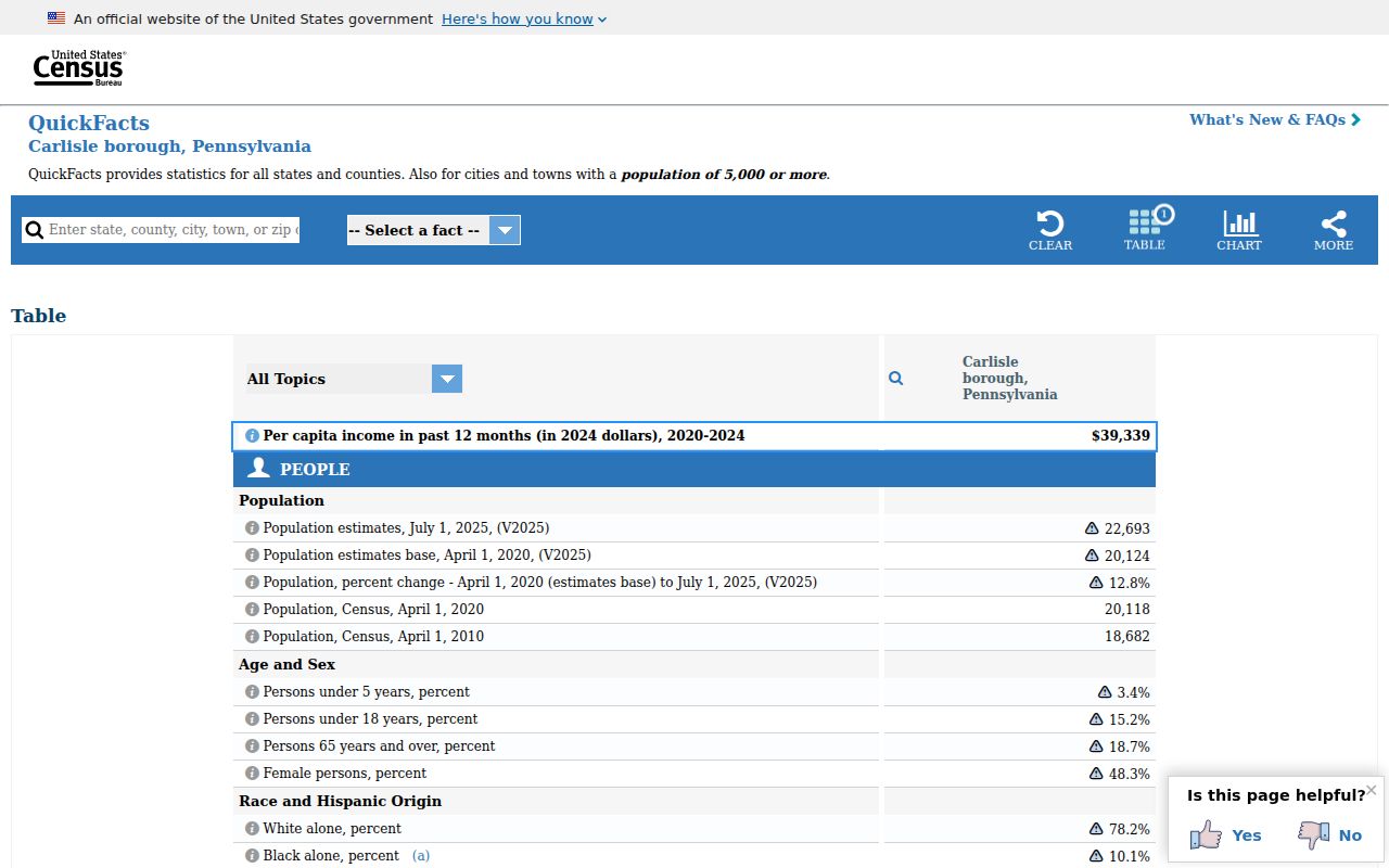
The Borough count gives civic context only. It should not be substituted for postal-area counts or used to draw a ZIP boundary.
County records list precinct labels including Carlisle 1-1, 1-2, 2, 3-1, 3-2, 3-3, 4-1, 4-2, and 5. These election labels can matter for an election-office question, yet they remain separate from a postal or ownership map.
The Cumberland County Carlisle Borough precinct page is the source for this Carlisle ZIP code directory image.
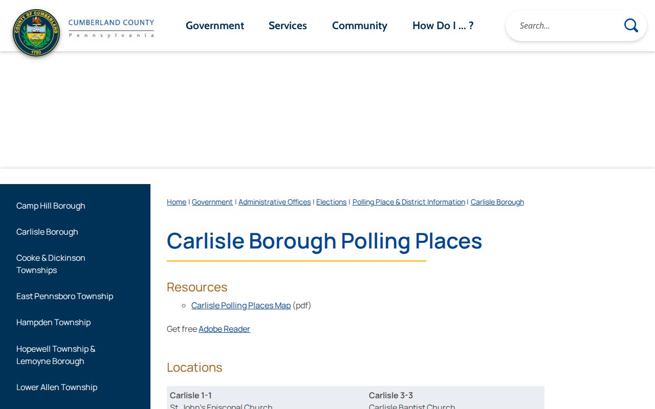
Keep the precinct name as its own field when records research involves elections, and never treat it as a ZIP code equivalent.
Carlisle ZIP Code Historical Addresses
ZIP code research has a hard limit for older addresses. Historic city directories, where a verified volume has a street or criss-cross section, can help connect an address to a listed person at the issue date. They do not establish the modern postal code or municipal boundary. First normalize the historic street and number, then compare the address with a Sanborn map, a parcel or deed legal description, and the specific directory volume. The Library of Congress has Carlisle Sanborn sets from 1885 through 1923, including a 16-sheet 1902 map.
For an address that becomes a street-level history question, the Carlisle city directory explains how to read historical directory entries and trace a household across available editions. Current ZIP verification remains an address-to-USPS and parcel-municipality task.
Note: No Borough-wide renumbering or street-renaming list was verified, so do not assume an old address converts without map and deed evidence.