
Find Carlisle Street Residents by Address
Use a Carlisle address in a fixed order. First, normalize the house number, street name, suffix, municipality, postal code, and parcel or PIN if one is already known. Next, locate the Carlisle parcel in Property Mapper or DataScout. The selected record may show an owner, property characteristics, assessment value, parcel facts, or a deed reference. It does not prove who currently occupies every Carlisle unit or home. That distinction keeps a Carlisle street directory search tied to the kind of record actually returned.
- Search the Carlisle street number and name, or a PIN, in Cumberland County Property Mapper. Save the parcel identifier, municipality, and the date of the map check.
- Open the Carlisle property card through DataScout with the same address or parcel number. Compare the physical location with its ownership and assessment fields.
- Use the current Carlisle recorded owner, deed book and page, UPI/PIN, and legal-description clues to find the acquisition document in Landex.
- Read the document and follow the seller or earlier owner through the next grantor or grantee search. Do not connect same-named people by guesswork.
- For a past household, ask the holding library or historical collection whether a particular Carlisle directory has a criss-cross or street section, then compare its date with other records.
The chain is address to parcel, parcel to recorded document, then document to prior document. A formal voter Street List has a separate, restricted legal process and is not part of a general public street browse.
Normalize Carlisle Street Directory Keys
“Carlisle” can mean Carlisle Borough, a USPS mailing city, or a wider area. The Carlisle Borough sits in Cumberland County and uses 17013 at Carlisle Borough Hall and the Carlisle county offices, while 17015 may also use the Carlisle postal name in the surrounding area. Postal wording alone does not prove that a parcel lies in Carlisle Borough. For a 17015 address, verify the delivery address with USPS, then inspect the Cumberland County map’s municipality field.
- Situs address
- The physical location used to find a parcel or map result.
- Mailing address
- A correspondence destination in a tax or other record. It can be different from the property location.
- Parcel or PIN
- The county identifier that connects mapping, assessment, and many modern recorded instruments.
- Plat
- A recorded plan or map of land; use its lot and block details with the legal description rather than guessing from a street label.
- Criss-cross directory
- A historical address-to-listed-person section in a directory volume, when the verified volume includes one.
Since October 1, 2008, Cumberland’s UPI rule has required a tax parcel number on designated Carlisle real-estate documents, plans, mortgages, and related instruments, with listed exceptions. It can bridge a modern Carlisle parcel to a recorded document. Earlier Carlisle work often needs lot, block, bounds, party names, or book and page clues.
Search Carlisle Streets in Property Mapper
Cumberland County Property Mapper is the spatial half of the Carlisle street directory process. Its parcel-information search accepts a Carlisle property address, PIN, or deed book and page. A street-address geocoder can return an address, score, and city, county, state, ZIP, and ZIP4 components. Select a result, click the Carlisle parcel, and zoom or pan to see adjoining tax-parcel lines. The current county description says a selected parcel opens assessment data in a left-side panel and the print widget produces a map with selected data.
| Property Mapper field | Control | Use by street | Published result or note |
|---|---|---|---|
| Property Search | Text autocomplete | Enter a situs property address | Searches property address; partial matching enabled |
| PIN | Text autocomplete | Find a known parcel | Parcel ID link; exact format not published |
| Deed Book and Page | Text autocomplete | Bridge a document to map context | Searches DB_PG |
| Street Address | Single-line geocoder | Check a point location | Returns match address, score, and jurisdiction components |
| Parcel click | Map selection | Inspect a target or adjacent parcel | Opens detailed assessment information |
| Print widget | Button | Save a dated reference map | Map with selected assessment data |
Cumberland Map Services is the source for this Property Mapper feature capture.
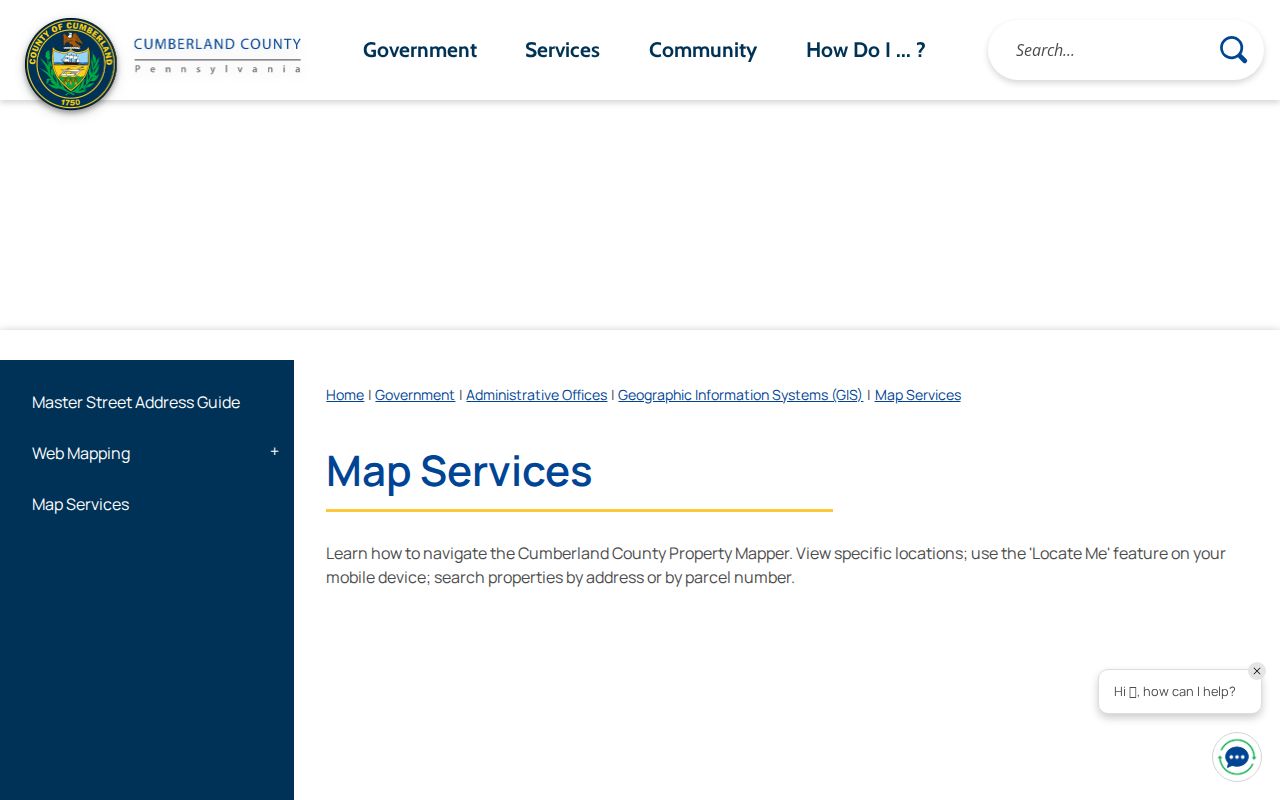
The map’s seven prior imagery years and 2024 default imagery can help date Carlisle physical context. They do not establish the people who lived at a Carlisle address in those years.
Carlisle Street Directory Property Cards
DataScout is the Carlisle property-card route. Cumberland publishes only two public search modes: parcel number and address. The County says the selected card shows ownership, physical characteristics, and assessed value, with basic mapping and aerial photos. It does not say the public version supports owner-name searches, so do not rely on a name-only query. The property card is useful evidence about a Carlisle parcel and its assessed owner, not a roster of occupants.
| DataScout control | Input type | Requirement | Verified note |
|---|---|---|---|
| Parcel Number | Text | One documented search mode | County has not published PIN punctuation or length |
| Address | Text | One documented search mode | Use the number and street when known |
| Search and property selection | Action and result control | After terms | Opens a property record card |
| Professional service | Account or service setting | Optional | Multiple-property and detailed-sales service |
The County’s assessment tools page is shown in this Carlisle street directory capture.
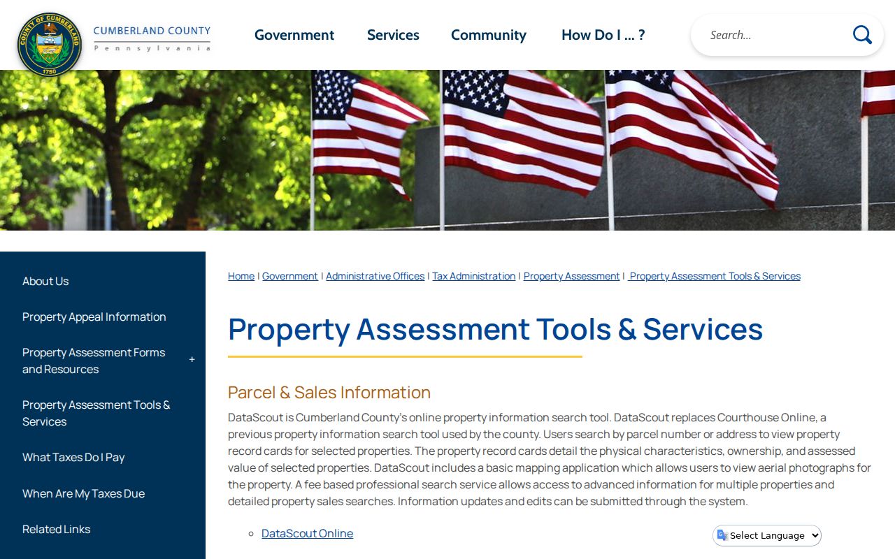
If a Carlisle assessment ownership-name issue needs correction, contact the Assessment Office. That Carlisle correction path does not turn a tax-roll entry into conclusive proof of who lives at the situs address.
Carlisle Parcels Lead to Recorded Deeds
The practical Carlisle street-by-address link to title is a document trail. Start with the Carlisle parcel, current owner, deed book and page, or legal description. Then search the current acquisition deed in Landex. The seller or grantor becomes the next historical lead. Repeat by tracing prior Carlisle acquisition documents, noting each instrument number, recording date, document type, and legal-description reference. An old instrument may use a tract, lot, block, or bounds instead of the present street name.
Cumberland describes deed coverage from 1750 to the present, mortgage index coverage from 1973 to the present, and miscellaneous index coverage from 1956 to the present. Those dates describe the county’s stated index coverage, not a blanket promise that every image is equally available. Landex uses General, Instrument Number, and Book and Page tabs; its general name search can be narrowed by first name, date, or document type and is capped at 250 matches.
Landex’s documented Cumberland search screen is captured below.
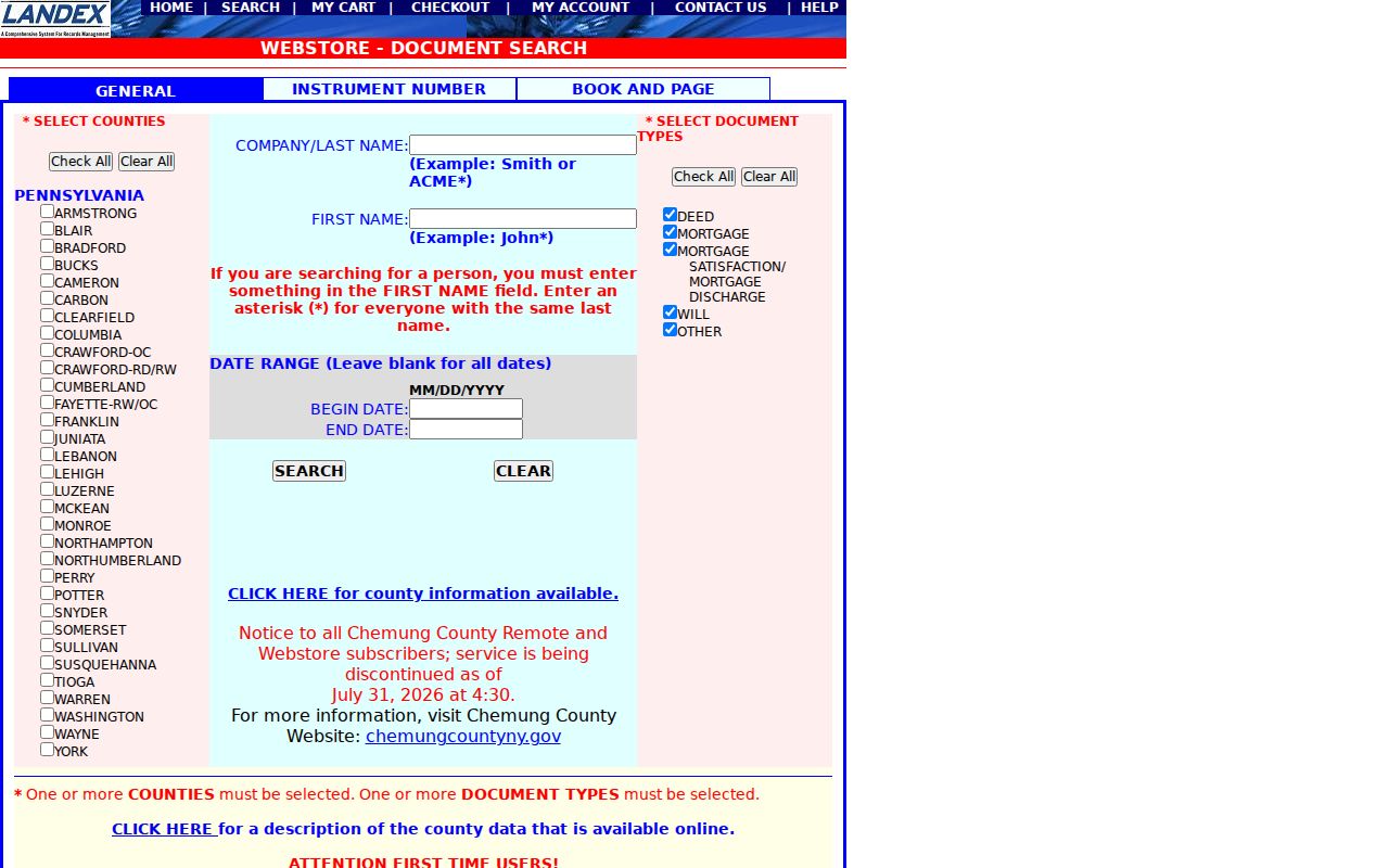
Use the map and legal description to resolve a document, not a shared surname or a nearby address. That disciplined link is especially important before the 2008 UPI bridge.
Carlisle Street Directory Record Coverage
Address-keyed records answer different parts of a street question. The street directory process begins with parcel geography, then adds assessed ownership and recorded documents. Public project records can date a physical change. Historical volumes can show a listed address in a particular year. Every row below has a limit, so a careful result reports the source and date instead of turning the chain into a current household claim.
| Carlisle address source | Street or address method | What it adds | Limit to retain |
|---|---|---|---|
| Carlisle Property Mapper | Carlisle address or PIN, click parcel, zoom along a segment | Carlisle parcel lines, assessment basics, tax and sales context | Parcel and owner evidence, not residents |
| Carlisle DataScout and assessment roll | Carlisle address or parcel number | Ownership, physical facts, assessed value | Does not document complete occupants |
| Carlisle Landex | Recorded party and document search | Carlisle title and encumbrance trail | Not an address-organized household list |
| Carlisle Borough permits and planning | Identified Carlisle address, date, and file-category request | Project or applicant context when public | No verified public permit-result search |
| Carlisle historic directory collection | Verified volume’s street or criss-cross section | Listed person and Carlisle address at a dated point | Collection and year vary; not current |
The County Assessment Roll is also available for public inspection in Room 104 at One Courthouse Square in Carlisle on weekdays from 8 a.m. to 4:30 p.m. That is a useful Carlisle fallback when an address-led portal check needs a custodian’s help.
Carlisle Recorder History by Street
The Cumberland Recorder of Deeds in Carlisle maintains recorded land documents and directs remote researchers to Landex. Carlisle office terminals are available from 8 a.m. to 3:30 p.m.; the Recorder requests appointments for visitors and requires scheduled appointments for subdivision plans and notaries. Historic paper index books were used until computerized indexing began in December 1993, paper books stopped in 2001, and historic books moved to County Archives in Carlisle in 2017.
The Recorder’s official source page accompanies this Carlisle street directory image.
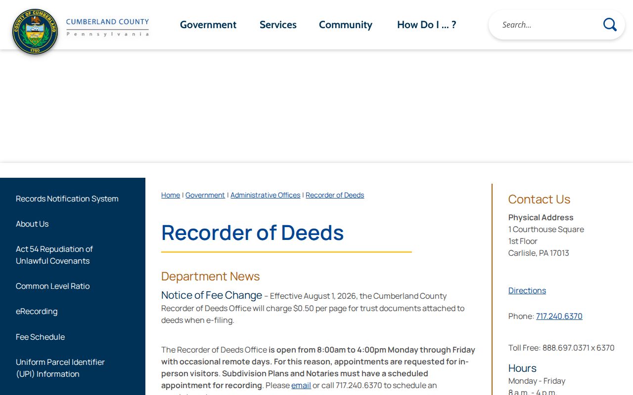
When a deed sequence crosses the paper-index period, use the document’s legal-description references and ask Recorder or Archives staff about the relevant books. Do not conclude that the chain ended merely because a current name search is thin.
Carlisle Street Files Beyond Deeds
Property and title records are not the only Carlisle address evidence. Carlisle Borough’s forms repository includes building, demolition, historic-architectural review, street excavation, zoning, subdivision, water, sewer, and similar applications. County Planning’s Subdivision and Land Development Activity Map can search a Carlisle plan name or street address, filter by date, and zoom to a municipality. Together, those sources can date a Carlisle physical project or review at a location.
There is no verified public Carlisle Borough permit-result portal. For a specific Carlisle record, direct a request to the relevant Borough office with the street address, approximate date, and file category. The Carlisle Borough Right-to-Know route is the appropriate way to seek a public record; it does not require an agency to make a new list or reorganize data it does not keep.
Cumberland’s Assessment Office page is the source for the local assessment-roll and contact route.
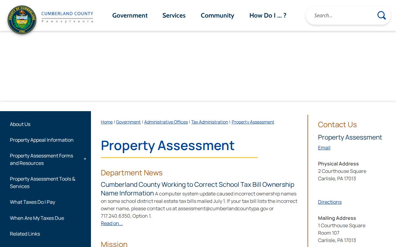
Use a public project file as a dated development clue. It does not prove an applicant or owner occupied the address.
Carlisle Street Directories Need Historical Context
For a Carlisle historical street question, use a directory only after identifying the volume and its contents. Ask the Cumberland County Historical Society or Carlisle holding library whether the selected Carlisle volume has a criss-cross or street portion. Read the full Carlisle street segment, then compare an alphabetical entry, a near-year released census schedule, and map evidence. A directory observation should retain its publication year because moves can occur between compilation and other record dates.
County Archives in Carlisle preserves non-active permanent records, primarily before 1950, and holds historic Carlisle Recorder books after their 2017 transfer. It offers online local listings for scanned material and appointment access for material that is not scanned. Its public hours are Monday from 10 a.m. to 4 p.m. or by appointment.
County Archives public-record access information is shown in this street directory image.
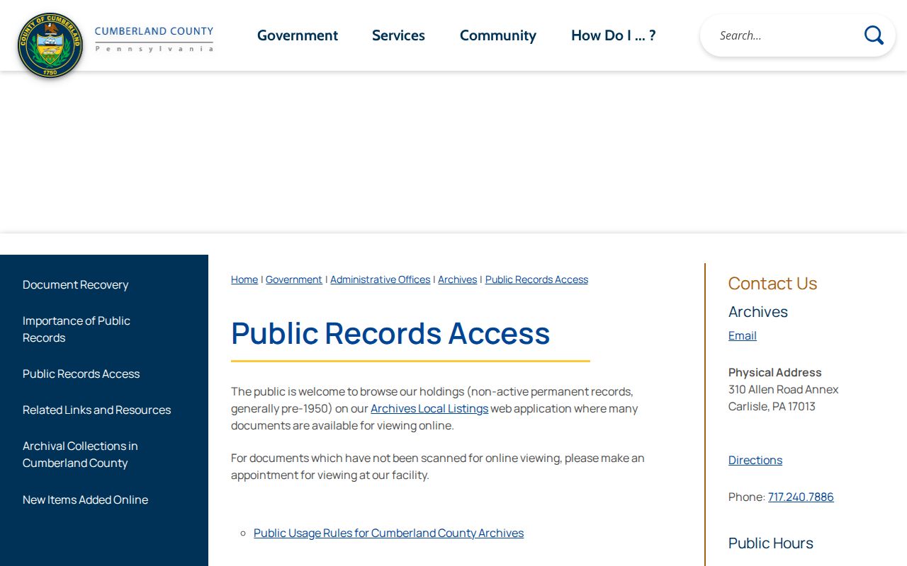
The archive is the right fallback for an identified older record group. Ask by address, name, year, and record type rather than requesting a list of everyone connected to a street.
Carlisle Street Questions Can Reach Estates
A Carlisle address trail sometimes reaches a decedent, an estate, or a marriage record. Cumberland County’s Register of Wills and Clerk of Orphans’ Court in Carlisle keeps those records. Its guest portal states public marriage and estate records run from 1994 to the present, while earlier open records are accessed in person. County sources differ on some online starting dates, so verify the particular record type before relying on a date boundary.
The Register of Wills and Orphans’ Court online records entry point is captured below.
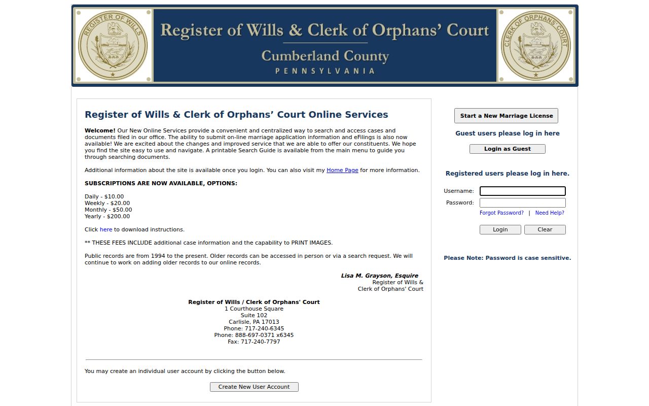
Adoption and guardianship records have access limits for certain parties. An estate or marriage result may supply a document lead, but it does not identify every person who shared an address.
Carlisle Address History Has Separate Vital Rules
Birth and death certificates are not a Carlisle street-directory source. Pennsylvania Vital Records issues state birth and death certificates from 1906 under separate eligibility rules. Reports of live birth become public at 105 years, and noncertified death records may be requested from the State Archives after 50 years. Those archival clocks can help date Carlisle family-history work, but they do not supply current address information.
Pennsylvania’s birth-certificate route is the source for this supporting Carlisle address-history image.
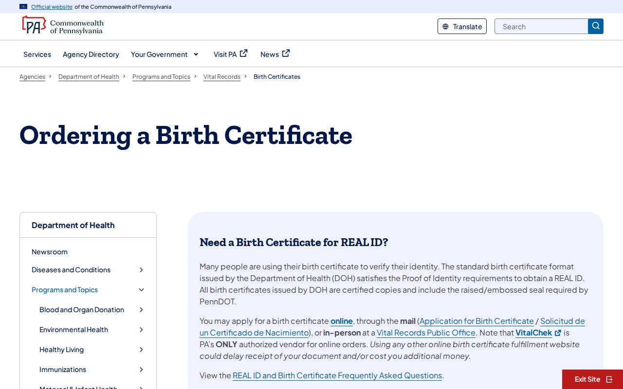
Use the state custodian to verify eligibility and request options. Do not use a vital-record inquiry to try to work around protected address or family information.
Limits of a Carlisle Street Directory
A Carlisle street directory cannot show a complete set of current residents. Carlisle Property Mapper and Carlisle DataScout relate a parcel to assessment information and may show an owner. Carlisle Landex connects parties to recorded instruments. A historic Carlisle directory or census can show a household at a dated moment. Utility accounts, delivery lists, DMV personal information, protected-address participants, and many court and vital details are not general address-search material.
Use records safely. Pennsylvania public records may support personal property, family-history, or civic research. Using address information to stalk, harass, intimidate, or expose protected details can violate Pennsylvania law.
Pennsylvania’s Safe at Home Address Confidentiality Program gives qualifying participants a substitute address. Voter lists have their own written permitted-use condition under 25 Pa.C.S. § 1404 and may not be published online. A self-status voter form is not a work-around. Preserve the limits alongside every address result.
Carlisle Street Title Records Survived a Fire
Cumberland’s long Carlisle Recorder trail has a specific local history. County history says the Carlisle courthouse burned on March 24, 1845, while townspeople saved stored records. The Recorder’s history says its documents were unscathed and were hidden during the Confederate invasion of 1863. That Carlisle history makes an older title path worth pursuing, but it is not a promise that each volume or page survives or is indexed.
The Recorder’s history page is the source for this Carlisle street directory capture.
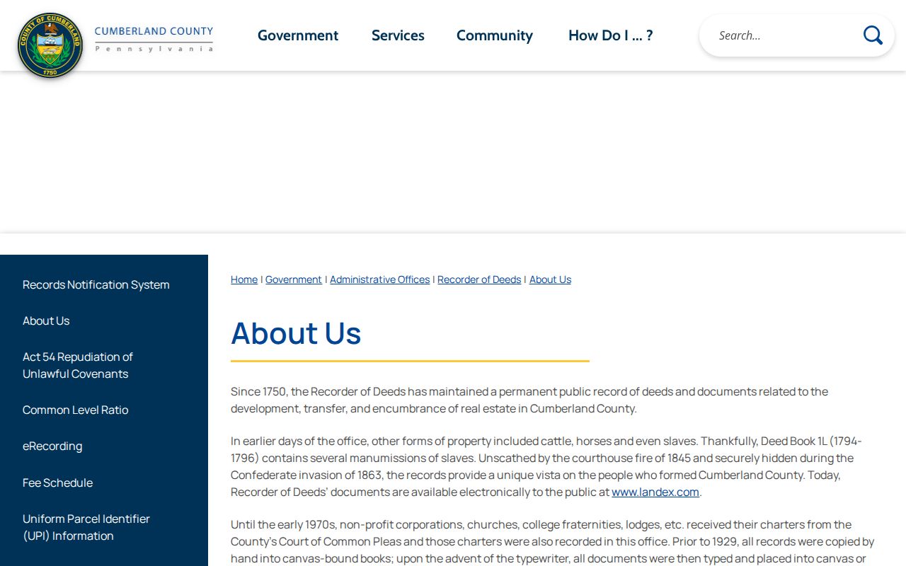
Use the story as a reason to check Recorder and Archives methods for an old legal description. It is not a reason to infer a person’s residence from a historic document alone.
Carlisle Parcel Data Must Be Read Carefully
The county’s public parcel service lists many potential Carlisle map attributes, including parcel ID, property address, municipality, land description, acreage, owner, deed book and page, valuation, sale price and date, property classification, and selected building facts. A published county access guide also warns that online Carlisle property sources can omit important information such as owners’ mailing addresses. Field display and redaction details can vary by selected record.
The county’s public parcel service is shown in this source image.
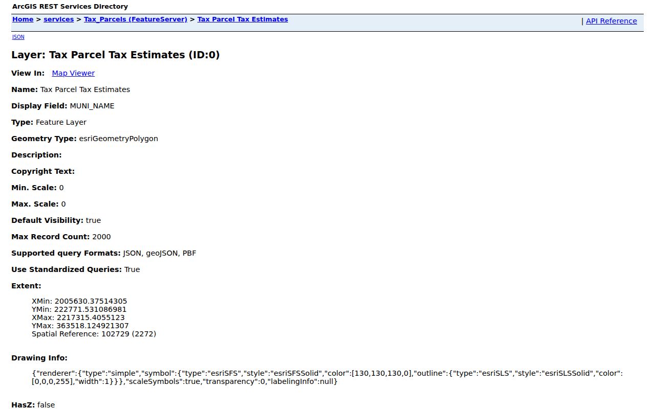
Record the selected parcel’s identifier and source date. Then use the property card and Recorder only for the relationships each source confirms.