
Carlisle Neighbors Block Sources
Official sources can describe a Carlisle block in pieces. Carlisle Property Mapper shows adjacent parcel lines, selected assessment basics, imagery, and a printable map. Carlisle DataScout and the assessment roll supply parcel-level ownership and assessment information. Carlisle Landex supplies recorded title history. Carlisle Borough planning and county map services can provide project, zoning, or review context. A formal voter list has narrow statutory rules. None of these Carlisle sources is a verified current-household roster.
| Source | What it shows around a block | Access route |
|---|---|---|
| Carlisle Property Mapper | Adjoining parcel boundaries, selected assessment context, imagery | Address or PIN map search |
| Carlisle DataScout or assessment roll | Property card and assessment-administered ownership information | Address or parcel-number search; counter inspection |
| Carlisle Landex | Recorded parties and title/legal-description trail | Recorder-designated portal or counter |
| Carlisle Street or Walking List | Prescribed registered-elector fields only | Formal statutory request, not self-status browsing |
| Carlisle Borough planning or county map | Public project, municipality, zoning, or review context | Website, planning office, or narrow public-record request |
| Carlisle CCHS historic collections | Historic directory, newspaper, and civic context if a collection supports it | Appointment or research request |
The important Carlisle distinction is owner versus occupant. A Carlisle parcel card records an ownership and assessment relationship. A Carlisle situs address identifies land. A tax correspondence address, when available through the proper office, can differ from the Carlisle parcel address. None of those fields proves that a named owner lives there today.
Map Carlisle Neighbors Parcels
Carlisle Property Mapper is the county’s map-centered tool for the immediate Carlisle block. Search a Carlisle street number and name or a PIN, click the target parcel, then zoom or pan until the nearby tax-parcel lines are visible. Click each bordering parcel separately. The current county description says a selected Carlisle parcel opens assessment data in a left-side panel, and the print widget produces a map with selected assessment data. Record the parcel identifier and source date before taking the next step.
- Find the target address or PIN in Property Mapper, and confirm the municipality rather than relying on a postal city label.
- Click the target parcel, then pan outward only far enough to identify the parcels that actually share a boundary or lie across the road.
- Open each nearby parcel individually and log the PIN, property address, displayed ownership context, and date checked.
- Use a deed book and page, legal description, or party name to compare a particular parcel’s title history in Landex.
- For a whole named street rather than an immediate block, shift to the Carlisle street directory method.
Carlisle Property Mapper accepts Property Search by situs address, PIN, deed book and page, or a street-address geocoder. Partial matching is enabled for the Property Search control. It also has aerial imagery, including a 2024 default and seven earlier years described by County Map Services. Those years help evaluate a Carlisle physical parcel pattern, not a family relationship.
The Cumberland County Map Services page documents the map and selected-parcel context.
Carlisle Neighbors Are Not Parcel Owners
A boundary-adjacent Carlisle parcel is a spatial relationship, not a household list. The selected Carlisle owner may hold property without living there. A nearby Carlisle building can contain more than one household. An alley, road, or detached lot can make a map relationship less obvious than it seems. Describe what the Carlisle map actually shows: an adjoining tax parcel, a parcel across a right-of-way, or a nearby parcel selected on a particular date.
DataScout is described by the county as an address or parcel-number property-card route. Its card can show physical characteristics, ownership, and assessed value. The county does not document public owner-name searching, and its older online-access guidance warns that online sources can omit important mailing-address information. The Assessment Office is the correction channel for an ownership-name issue. That correction path is not proof of current residency.
- Parcel
- A unit of land identified by a county PIN and shown by a boundary line on the map.
- Situs address
- The property location. It is not a list of the people who live there.
- Assessment owner
- The ownership information used in assessment administration, which should not be converted into a household claim.
- Deed book and page
- A recorded-document reference that can bridge a mapped parcel to a title record.
Note: Use the County Assessment Office for a record it maintains, rather than asking another portal to correct it.
Carlisle Neighbor Map Layers
One Carlisle block can sit within several different geographic systems. County Map Services points to Carlisle municipal zoning maps, FEMA flood layers, election precinct maps, and the Planning Review Map. Those layers serve different purposes. A Carlisle zoning district is not a neighborhood membership list. A Carlisle precinct is not a property boundary. A flood layer is not an owner record. County GIS supports Carlisle assessment, public safety, planning, and elections, but each record system has its own authority and privacy rule.
For a recent physical change, the Planning Review Map can search a plan name or street address, filter by start and end date, and zoom to a municipality. Carlisle’s forms repository and planning office provide the Borough route for a defined permit or code file where public. The research did not identify an online Borough address-result permit register. A targeted request should specify the address, approximate date, and file category.
The County subdivision and land-development page shows the planning-review channel.
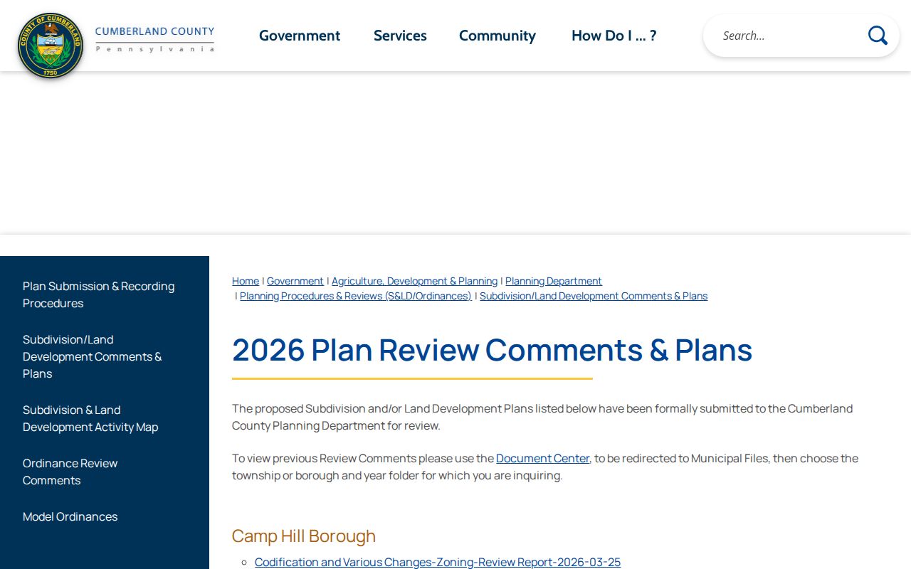
Planning material can explain a built block without identifying its current households.
The Carlisle Borough official site is the right municipal starting point for Borough-created records.
Use an official Borough channel instead of a private neighborhood contact list that has not been confirmed.
Carlisle Neighbors Voter Rules
Pennsylvania’s online voter tool at vote.pa/check is for a person to check their own registration status. It is not an open browse of everyone on a Carlisle block. The lawful documented route for a Carlisle street question is a prescribed Carlisle Street List or Walking List under 25 Pa.C.S. § 1404. The Street List may contain the stated name, residence or mailing address, party, and active or inactive status. The Walking List omits mailing address.
Before obtaining a Carlisle public information list, the requester must identify themselves and affirm in writing that the use will not be unrelated to elections, political activity, or law enforcement. The state’s form says the list may not be published on the internet. A Carlisle list still does not include unregistered residents, protected voters, or ballot choices. It must not become a general online Carlisle neighbors directory.
Cumberland lists five Carlisle Borough wards and several precinct labels. Those labels can help an election office locate its own material, but a precinct is not a neighborhood or an ownership boundary. Ask the Cumberland Bureau of Elections for the current request form, permitted format, and protected-address handling.
Carlisle Community Groups Without Rosters
No authoritative Carlisle Borough-wide neighborhood-association directory, verified Carlisle HOA directory, or member-directory policy was found in the research. That gap matters. Carlisle Borough’s Council, boards and commissions, public meetings, parks, departments, and the Downtown Carlisle Association are civic context. They should not be presented as Carlisle neighborhood rosters or used to infer who belongs to a group. Likewise, CCHS and local cultural institutions may document Carlisle historic organizations, but access to individual rosters depends on the holding collection and consent.
| Confirmed public layer | Borough civic information, planning material, maps, and public meetings |
|---|---|
| Not confirmed | A public Carlisle HOA roster, umbrella neighborhood directory, or opt-in resident-contact list |
| Accurate next step | Confirm a named association, its service area, public contact page, and directory policy with that association or the Borough before using it |
Commercial neighbor-search services are a category that compiles information of varying accuracy and age. They cannot replace a county map, Recorder title record, or consent-based association contact. Do not use a commercial compilation as proof that someone is a current neighbor.
Carlisle Neighbors in Historic Sources
Historic neighbors may appear in a directory street section, a released census enumeration, newspapers, maps, or a CCHS collection. Those are dated snapshots. A street section can establish a listed name at an address for that volume’s year, while a census shows a household at its enumeration date. Sanborn maps show a building and street layout, not residents. Compare the dates before linking the observations to a title chain.
Cumberland’s Recorder series helps keep a block history grounded. Deeds reach 1750, mortgages 1973, and miscellaneous records 1956. This numerical depth supports parcel-by-parcel title research, but not a claim that every neighbor or occupant is in the index. The Recorder’s paper indexes changed to computerized indexing in December 1993, and historic books moved to County Archives in 2017. An ambiguous link calls for the actual record and, when needed, an Archives route.
Local Police and Borough records also have their own restricted channels. The Carlisle Police page is an official public-safety source.
Public-safety and Act 22 materials follow their own procedures and are not neighborhood research tools.
Carlisle Neighbor Source Comparison
Use a source according to the question it was created to answer. Official sources have a defined keeper, field scope, and correction route. A commercial neighbor tool may combine data from different times and sources, so it needs independent confirmation. Neither category can establish a full household merely from an address. This comparison keeps a block inquiry tied to records rather than assumptions.
| Source category | Best use | Limit |
|---|---|---|
| County parcel and assessment tools | Parcel geometry, assessment, owner context, and property features | Not verified household occupancy |
| Recorder land records | Recorded party and title history | Recorded party is not necessarily a resident |
| Formal voter list | Statutorily permitted election, political, or law-enforcement use | Restricted access and internet-publication prohibition |
| Commercial compiled tool | A starting category only, if used lawfully | Can be stale or inaccurate and has no custodian correction route |
The Department of Health fee-waiver notice is an example of why the actual custodian controls a record’s access terms.
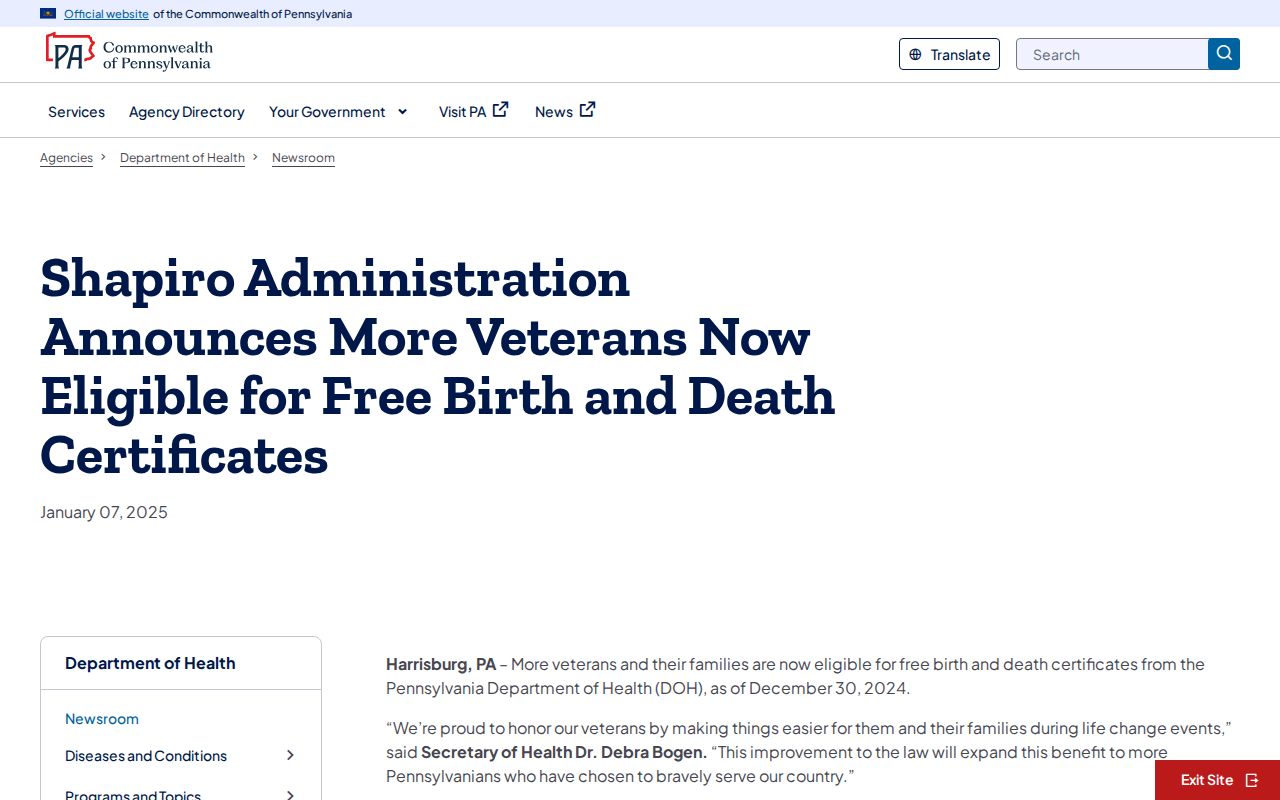
Vital-record access rules are separate from parcel, neighbor, and voter information.
Carlisle Neighbors Privacy Boundaries
Private data remains private even when a home is near a target parcel. Renters and other occupants, utility customers, package and delivery patterns, DMV records, protected-address participants, and private association members are not made public by proximity. Pennsylvania Safe at Home provides a substitute address for protected participants. A missing owner field, map result, or voter record is not an invitation to work around a restriction.
For Borough records that are public, use the official Right-to-Know route with a narrow request. Pennsylvania RTKL, Act 3 of 2008, does not override specific confidentiality statutes, court sealing, or protected voter data. For an unsafe repeated-contact situation, use local police non-emergency or emergency services as appropriate. Do not retaliate or publish personal details.
Lawful use. Carlisle neighbors research may support personal, lawful property and community context. Do not use it to stalk, harass, intimidate, or harm anyone.