
Carlisle Previous Residents Sources
Past residents and past owners are related but different Carlisle research questions. Carlisle’s Recorder supplies a title and legal-description chain. Local Carlisle directories and released census schedules provide observations of households at a particular time. Sanborn maps and later aerial imagery show the Carlisle building or parcel setting. Carlisle Borough permit and planning files can date a physical change where the record is public. Each source should keep its own year and meaning instead of becoming one continuous claim about who lived there.
| Carlisle source layer | Era covered | Carlisle access route | What it contributes |
|---|---|---|---|
| Carlisle Recorder deed series | 1750 to present | Landex, Recorder, and historic books | Ownership and legal-description chain |
| Carlisle Recorder mortgages | 1973 to present | Landex or Recorder | Financing clue, not residency proof |
| Carlisle Recorder miscellaneous records | 1956 to present | Landex or Recorder | Related instrument leads |
| Carlisle historic directory leads | Verified 1869 to 1876/77 and 1924 to 1960, with gaps | CCHS or holding-library consultation | Name/address observations and possible street sections |
| Carlisle federal census context | Through 1950 publicly released | NARA, Census, and library channels | A household snapshot on the enumeration date |
| Carlisle Sanborn and county imagery | 1902 map; 2017 to 2024 imagery when seven prior years are counted | Library of Congress and Property Mapper | Building and parcel context, not occupants |
For recent previous residents, begin with the current parcel and deed. For a twentieth-century household question, add a directory and the nearest released census year. For a much older chain, expect to use historical Recorder index logic and an Archives appointment.
Start Carlisle Past Residents by Parcel
Use Cumberland Property Mapper or DataScout to locate the current Carlisle property by address or parcel number. Record the Carlisle situs address, municipality, PIN, owner field, deed book and page if displayed, and the date you viewed the result. Carlisle Borough, a postal city name, and a parcel jurisdiction are not interchangeable. The municipality field matters before a historic Carlisle search moves into a different local record set.
The PIN is especially useful after October 1, 2008. Cumberland requires a tax parcel number on many covered Carlisle real-estate instruments, plans, and mortgages. It is a bridge between the mapped parcel and later recording, not a universal key for earlier Carlisle deeds. If an older document has no street address, its lot, subdivision, tract bounds, or book-and-page reference becomes the bridge.
- PIN or UPI
- The county parcel identifier used to connect assessment and covered recorded real-estate material.
- Situs address
- The location of the property. It is different from a tax-correspondence address and does not list every occupant.
- Legal description
- The lot, block, subdivision, boundary, or other land wording that identifies property in a deed when a street address is insufficient.
Note: Save a source date because an assessment card and a later recording can reflect different points in time.
Carlisle Previous Residents Deed Trail
A Carlisle chain of title is built one document at a time. Start with the acquisition deed for the current Carlisle owner. The seller, also called the grantor, is the next ownership clue. Search that seller as a grantee to find the prior acquisition, then repeat. Read the Carlisle deed image or record at every uncertain link. A shared surname, a similar street name, or a nearby parcel is never enough by itself.
- Locate the parcel and copy the current owner, PIN, legal description, and deed clue shown by the property source.
- Search Landex for the current owner as grantee, using a date range, document type, instrument number, or book and page when available.
- Read the acquisition record. Log the deed date, recording date, grantor, grantee, book or instrument number, and each prior reference.
- Search the grantor as grantee for the prior purchase, then compare the legal description before joining the link.
- At an ambiguity, use the Recorder counter or County Archives historic books rather than guessing between similarly named parties.
- Grantor and grantee
- The grantor transfers an interest. The grantee receives it in the recorded instrument.
- Chain of title
- The documented sequence of transfers for one property, confirmed link by link.
- Index era
- The way a record is found may change even when the deed series continues. Cumberland computerized indexing began in December 1993.
The Cumberland Recorder of Deeds is the official custodian of the title trail.
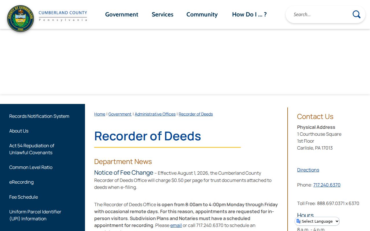
Confirm live image, access, and copy options with the Recorder before relying on a particular Landex result.
Carlisle Previous Residents by Record Era
The numerical depth of Cumberland’s land record is unusual: deeds reach 1750, mortgages 1973, and miscellaneous records 1956. Recorder history also marks the changes that affect a backward trail. Paper indexes served deeds, mortgages, and miscellaneous records until computerized indexing in December 1993. Paper books stopped in 2001, and historic books moved to County Archives in 2017. A no-result near a transition should change the search method, not end the research.
The 1845 courthouse fire is the local records story behind that caution. County history says townspeople saved stored records and the courthouse was rebuilt in 1846. Recorder history says its documents were unscathed, and were hidden during the Confederate invasion in 1863. That makes a long chain plausible, but it does not guarantee that every page survives, is indexed, or clearly identifies the same parcel.
The Cumberland County history gives the county-seat setting for this records trail.
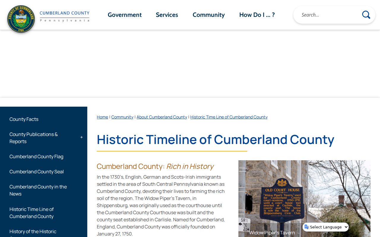
Use the history as context, then verify each deed link against its own record.
The County Archives document-recovery notice also warns that some older materials may be missing through fire, moves, misfiling, or removal.
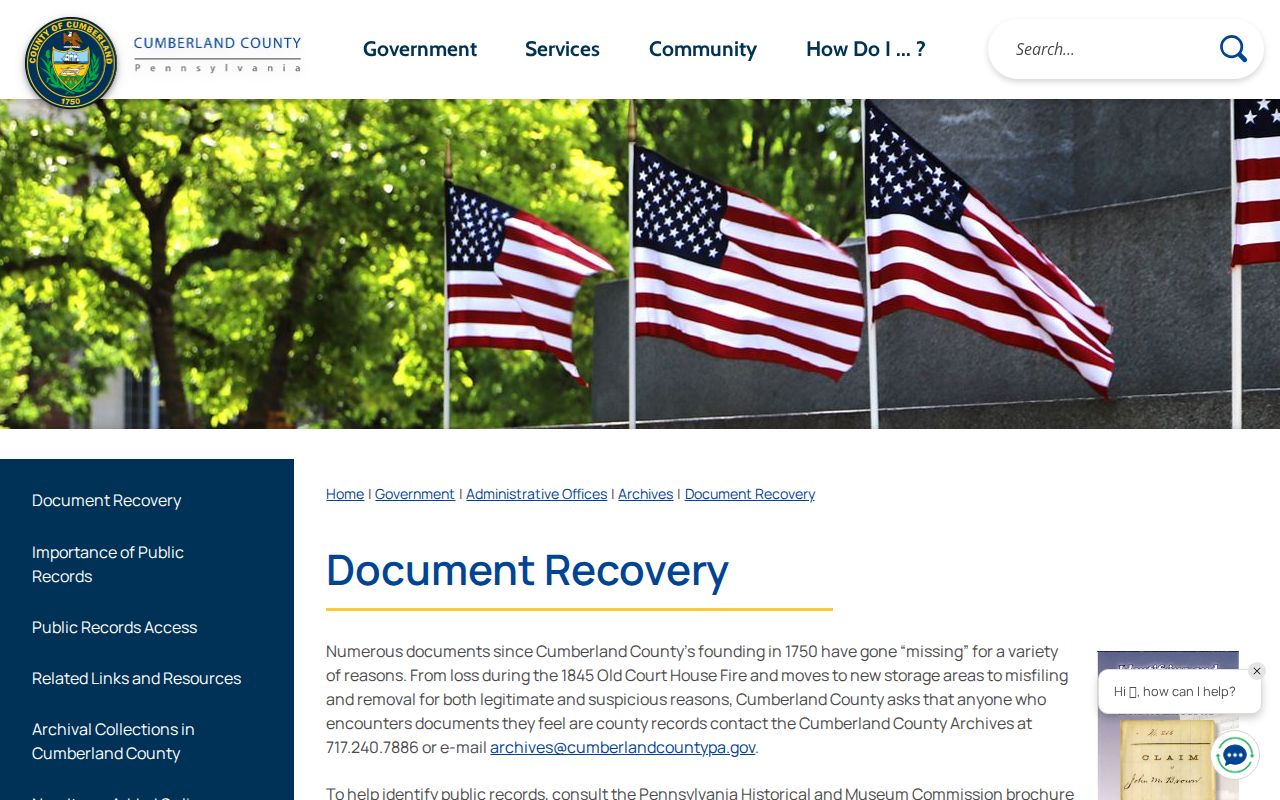
Report a discovered county document to Archives rather than treating it as a private collection item.
Carlisle Previous Residents Household Trail
A Carlisle deed identifies recorded parties, not necessarily the people who lived at the address. For a twentieth-century Carlisle address, ask CCHS or a holding library about a Carlisle street or criss-cross section for the relevant year, then check the alphabetical entry. Pair that observation with a near-year released federal census schedule. Directories were compiled at a different time than a census, and a move can make two honest sources differ. Label each result by its source year.
- Choose the deed interval or construction era that needs household context.
- Request or inspect the closest directory volume and look first for a street or criss-cross portion where available.
- Verify the named entry in the alphabetical portion and preserve the printed year exactly.
- Compare it with the closest released census enumeration date, without treating either as evidence for every day between them.
- Use public obituary, cemetery, church, or estate material as later leads only where the collection permits access.
The historical volumes themselves are covered on the Carlisle city directory page. CCHS is the local institution for newspapers, cemetery and church material, genealogy files, manuscripts, and local history. Its closed-stack library is appointment based; it also has a published research-request route for people who cannot visit.
The CCHS research-request page describes that fallback channel.
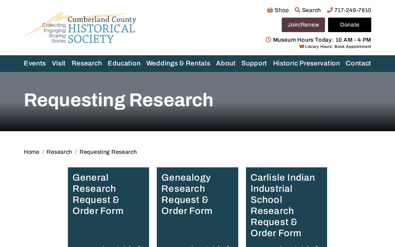
Ask with a specific name, street, and year range rather than requesting every prior household.
Carlisle Past Residents Building Context
Map the building before naming an occupant. The Library of Congress holds Carlisle Sanborn map sheets for 1885, 1890, 1896, 1902, 1909, 1915, and 1923. The 1902 map is a useful checked example of building and street setting. Property Mapper adds a 2024 default aerial image and seven earlier imagery years. These sources can show whether the physical footprint or street arrangement supports the time period being investigated. They do not list residents.
For a later alteration, Carlisle’s forms repository and County planning map provide a public-file path. The County map can search a street address and filter subdivision or land-development reviews by date and municipality. Carlisle has no verified public borough-wide permit-result search, so an identified Carlisle address, date range, and file type should be used in a targeted Borough request.
The Borough’s Carlisle overview supplies civic and geographic context for records held in the county seat.
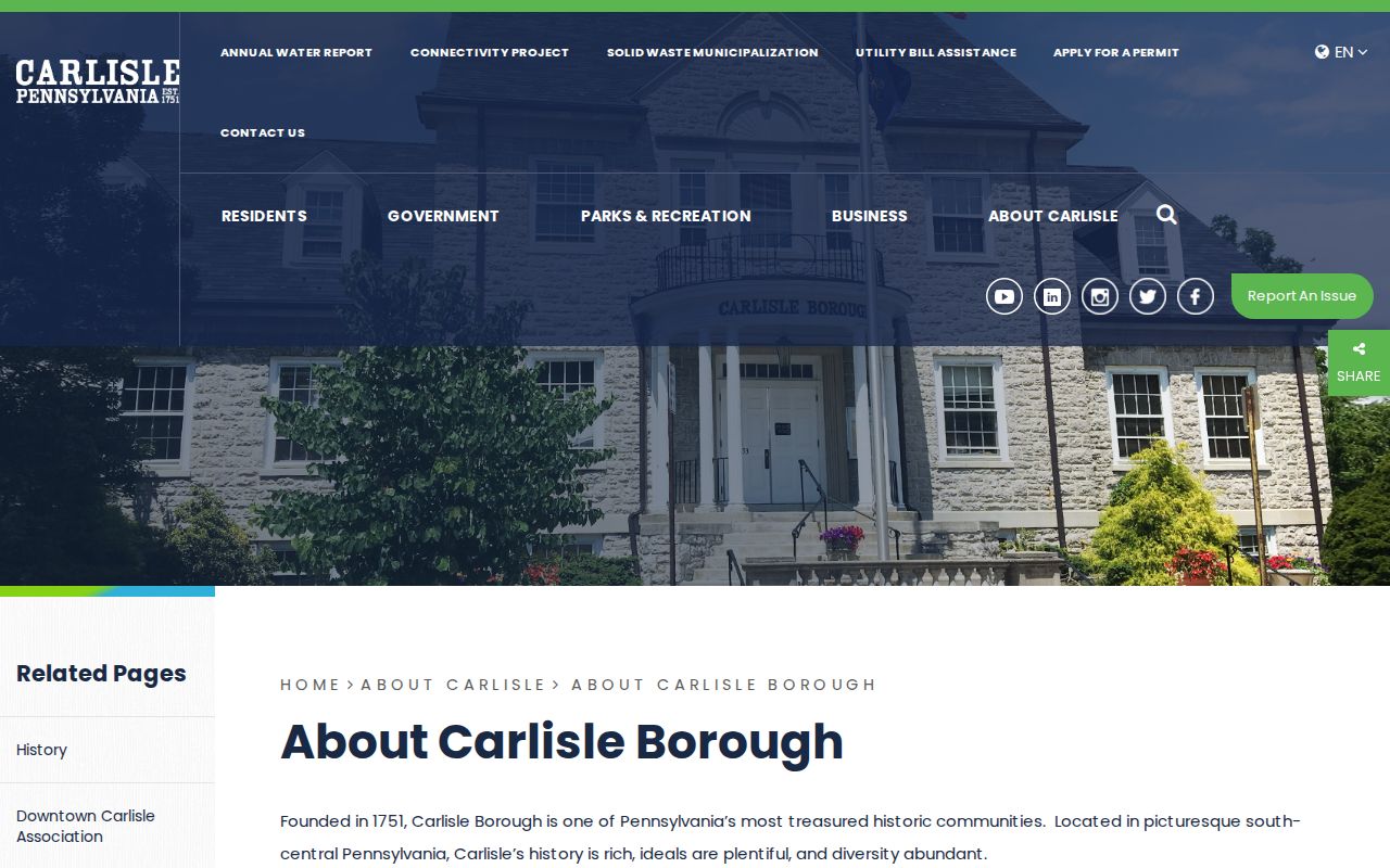
Keep Borough, postal, and parcel geography separate while matching an old address.
The Cumberland County Carlisle Borough precinct page illustrates why election geography is another dated context layer, not an address-history result.
Carlisle Previous Residents Trail Endpoints
When an earlier owner or occupant disappears from an address trail, probate, obituary, cemetery, church, and newspaper records can offer a dated lead. The Register of Wills online entry point covers public estate and marriage material from 1994 forward, while older open records require an in-person channel. A public probate record may identify a fiduciary or heir where available, but it does not prove that every named person lived at the address.
Carlisle County Archives is the official fallback for non-active permanent county records, mainly pre-1950. Carlisle CCHS has broader local-history collections. Carlisle’s Bosler Memorial Library can help patrons navigate genealogy resources and the CCHS/County Library pass. This Carlisle three-level route, Recorder, Archives, and CCHS, is the practical local pathway when a historical address trail cannot be completed in one portal.
The Pennsylvania Treasury unclaimed-property search is an official name-based service, but it is not proof of residence or identity.
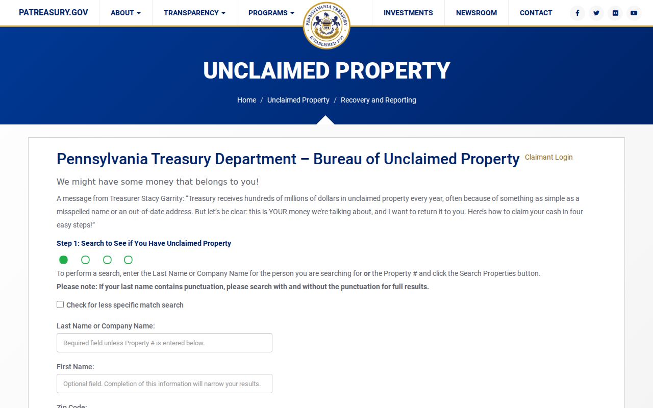
Use only the agency’s claim verification process for an unclaimed-property match.
Note: An estate or obituary lead should be confirmed with the custodian and its date.
Carlisle Previous Residents Limits
Historic house research is a lawful, personal inquiry into records and places. It is not permission to track a living person. Property ownership, a directory entry, or a tax mailing address does not establish current occupancy. Renters, utility customers, delivery patterns, protected-address participants, and private association members are not public house-history data. Pennsylvania Safe at Home protects participant addresses through a substitute-address program.
Lawful house-history research. Use a Carlisle previous residents trail for family history, estate work, and the history of a property. Do not use records to stalk, harass, intimidate, or harm any person.